
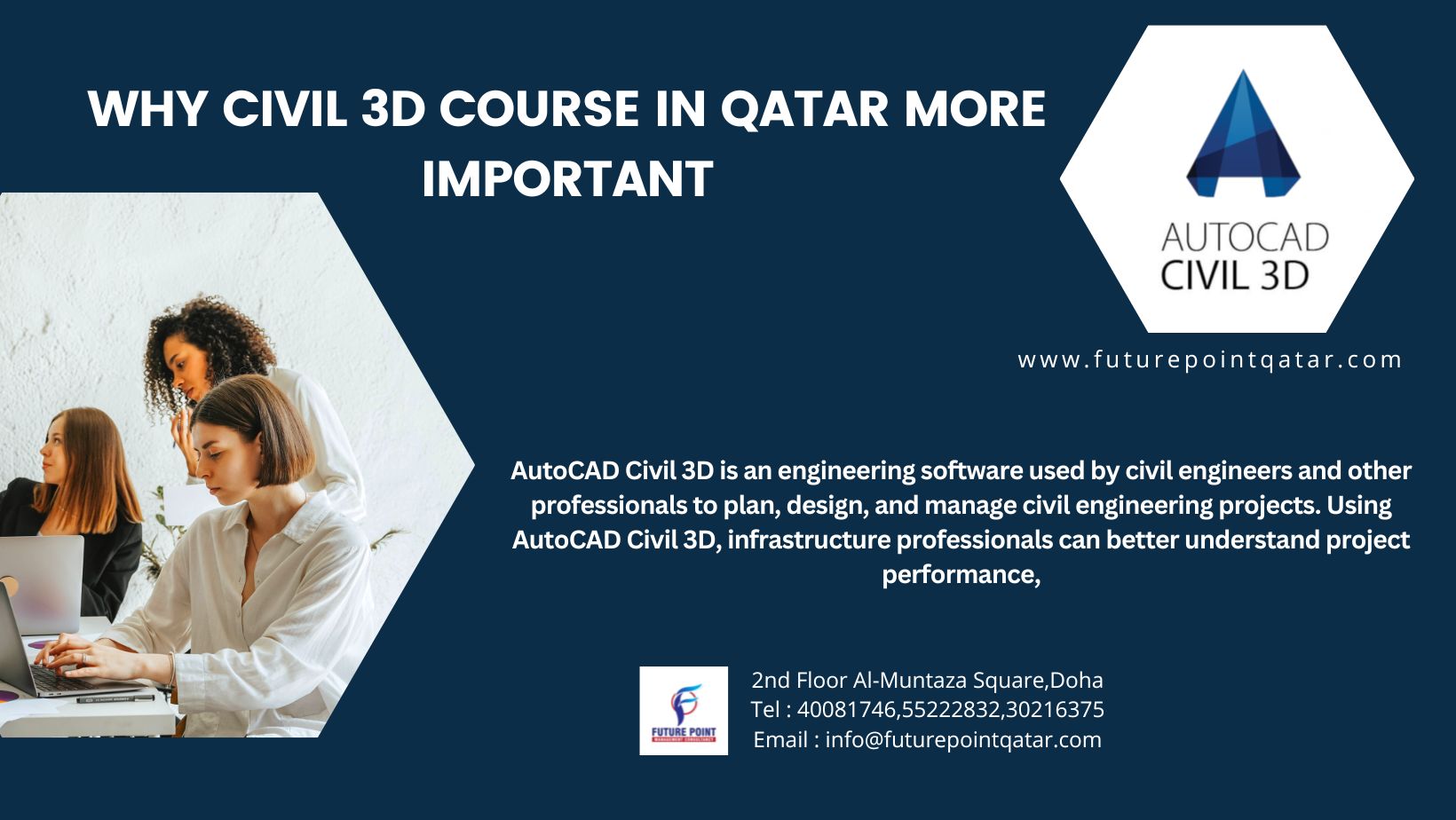
These courses provide comprehensive instruction on using Civil 3D for civil engineering projects. Here are some common details you might find in a Civil 3D course in Qatar:

  1. Course Overview: The course will begin with an overview of Civil 3D and its capabilities, highlighting its importance in civil engineering projects.
  2. Software Interface: Participants will learn about the Civil 3D user interface, including navigation tools, menus, ribbons, and panels.
  3. Basic Tools and Commands: The course will cover fundamental tools and commands used in Civil 3D, such as creating and editing alignments, profiles, and surfaces.
  4. Design Workflows: Participants will learn about typical design workflows in Civil 3D, including road design, site grading, and utility design.
  5. Data Management: The course will include instruction on managing project data in Civil 3D, including importing and exporting data, creating and managing styles, and organizing project files.
  6. Surface Modeling: Participants will learn how to create and analyze surface models in Civil 3D, including contour generation, volume calculations, and earthwork analysis.
  7. Alignment Design: The course will cover alignment design concepts and methods using Civil 3D, including horizontal and vertical alignment creation, editing, and analysis.
  8. Profile Design: Participants will learn how to create and edit profiles for various civil engineering elements, such as roads, pipelines, and drainage systems.
  9. Corridor Design: The course will include instruction on corridor modeling in Civil 3D, including corridor creation, editing, and analysis for road design projects.
  10. Quantity Takeoffs: Participants will learn how to perform quantity takeoffs and generate material volumes for earthwork, grading, and construction activities using Civil 3D.
  11. Documentation: The course will cover the creation of construction documentation in Civil 3D, including plan production, sheet layout, and annotation tools.
  12. Project Examples: Throughout the course, participants may work on practical project examples and case studies to apply their skills and knowledge in real-world scenarios.

These are just some general details you might find in a Civil 3D course in Qatar. The specific content, duration, and delivery format of the course may vary depending on the training provider and the needs of the participants. It’s advisable to contact training institutes directly to inquire about course availability, schedules, and registration procedures.

Indeed, Civil 3D is extensively used for road design and pipework in civil engineering projects. Here’s how it is typically employed in these areas:

  1. Road Design:
    • Alignment Design: Civil 3D allows engineers to create alignments for roads, highways, and other transportation routes. This includes defining horizontal and vertical alignments to establish the path and elevation profile of the roadway.
    • Profile Design: Engineers can generate profiles to represent the cross-sectional views of roads, showing features like lanes, medians, shoulders, and slopes.
    • Corridor Modeling: Civil 3D’s corridor modeling capabilities are instrumental in road design. Engineers can create dynamic 3D models of road corridors, incorporating features such as pavement layers, curb and gutter, sidewalks, and medians.
    • Intersection Design: Civil 3D facilitates the design of intersections, including complex junctions with multiple lanes, turning lanes, traffic islands, and signalization.
  2. Pipework:
    • Pipe Network Design: Civil 3D enables the design of complex pipe networks for drainage, sewer, and water distribution systems. Engineers can lay out pipe networks, define pipe sizes, slopes, and invert elevations, and analyze hydraulic performance.
    • Stormwater Management: Civil 3D supports the design of stormwater management systems, including storm sewers, culverts, detention basins, and retention ponds. Engineers can model the flow of stormwater through the network and evaluate the effectiveness of drainage solutions.
    • Utility Coordination: In addition to stormwater systems, Civil 3D can be used to design and coordinate other utility infrastructure, such as sanitary sewers, water mains, and utility corridors. This includes clash detection to identify conflicts between different utility components.

By leveraging Civil 3D’s robust tools and functionalities, engineers can efficiently design, analyze, and document roadways and pipework in civil engineering projects. Its integration with Building Information Modeling (BIM) workflows also facilitates collaboration among various stakeholders involved in the design, construction, and maintenance of infrastructure projects.

“At Future Point, we take pride in being the sole training center to offer project-based Civil 3D courses. What sets us apart is our commitment to providing immediate training upon admission. Unlike other centers where students may have to wait until a sufficient number of participants join the batch, we ensure that our students can commence their training right away. This not only saves time but also allows our students to dive into the course material and start learning without delay.”


Register Online